
2021 Edition

Agriculture & Land
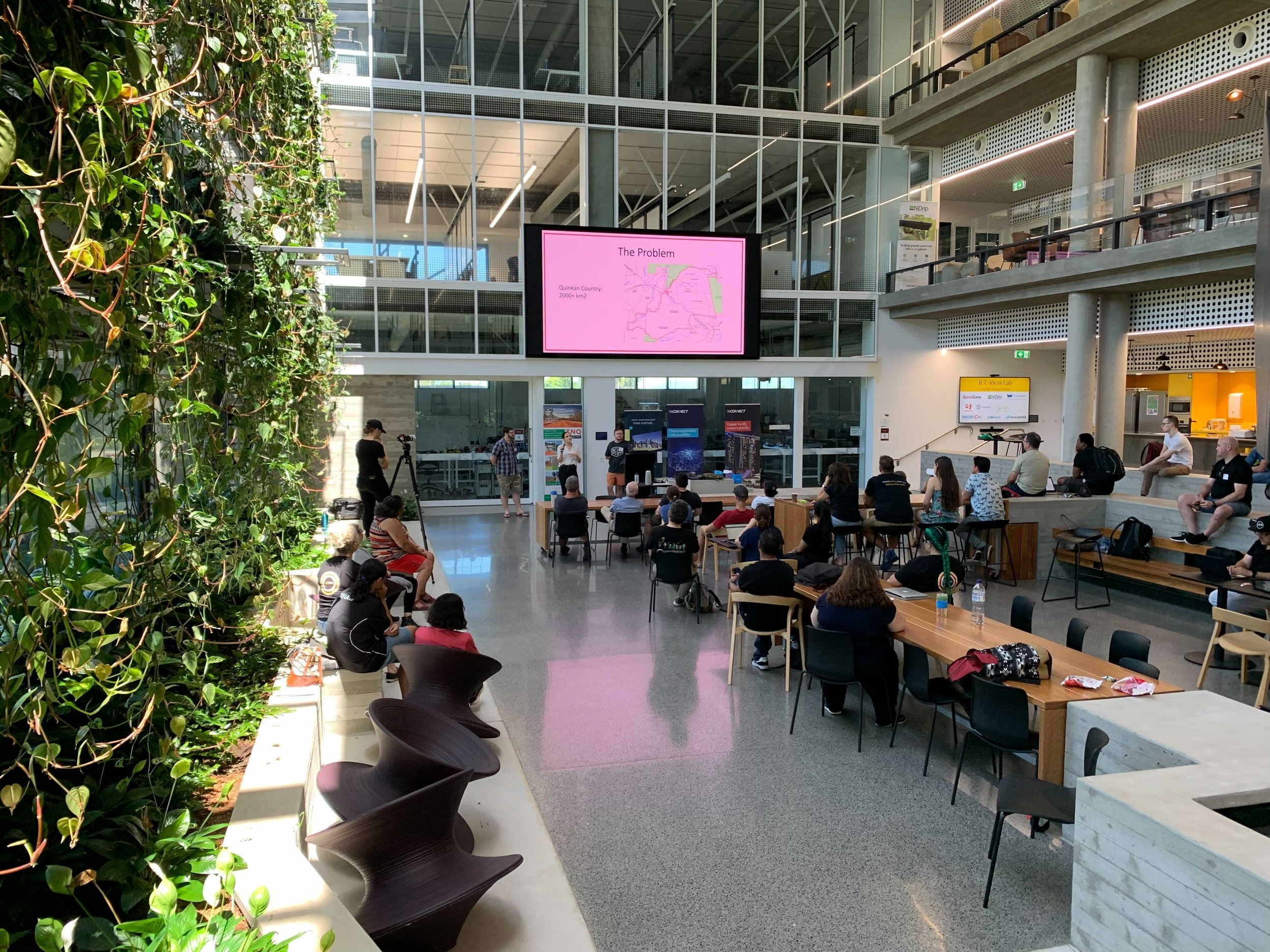
The event took place on the 5-9th of November in Cairns. Teams worked on unique agricultural and land terrain challenges. View the projects developed by the teams at the Indigenous Australian Datathon 2021 edition.

Solutions Developed
-

Rock Art Sites Detection
World-heritage Aboriginal rock art dating back thousands of years can be detected and classified thanks to drones, artificial intelligence and mapping technology. This is an ongoing project.
-

Conservation of Indigenous Biodiversity Knowledge
Using the QuestaGame app, individuals can upload photos of fauna and flora. The photos are then geotagged and an authorised Indigenous person can identify and confirm the species.
-

Wildlife Conversation with Drones
Drone technology is used for wildlife conservation using Geonadir technology, a mapping data software. Drones can help find, map, catalogue and manage wildlife.
-
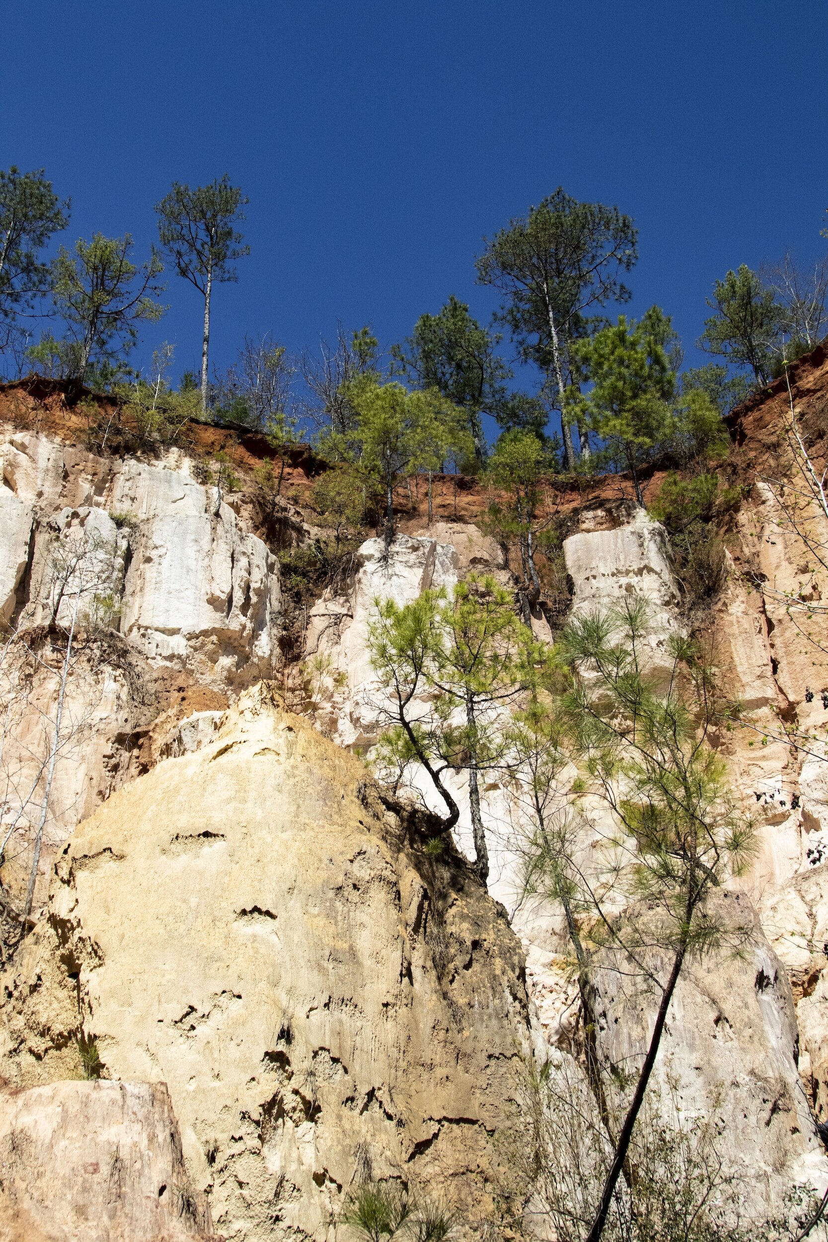
Erosion Detection
Creation of a model to detect early signs of erosion and classify future erosion events. Erosion can impact the environment on Country and destroy local rock art.

Testimonials from the 2021 edition participants