2023 Edition

Water & Land
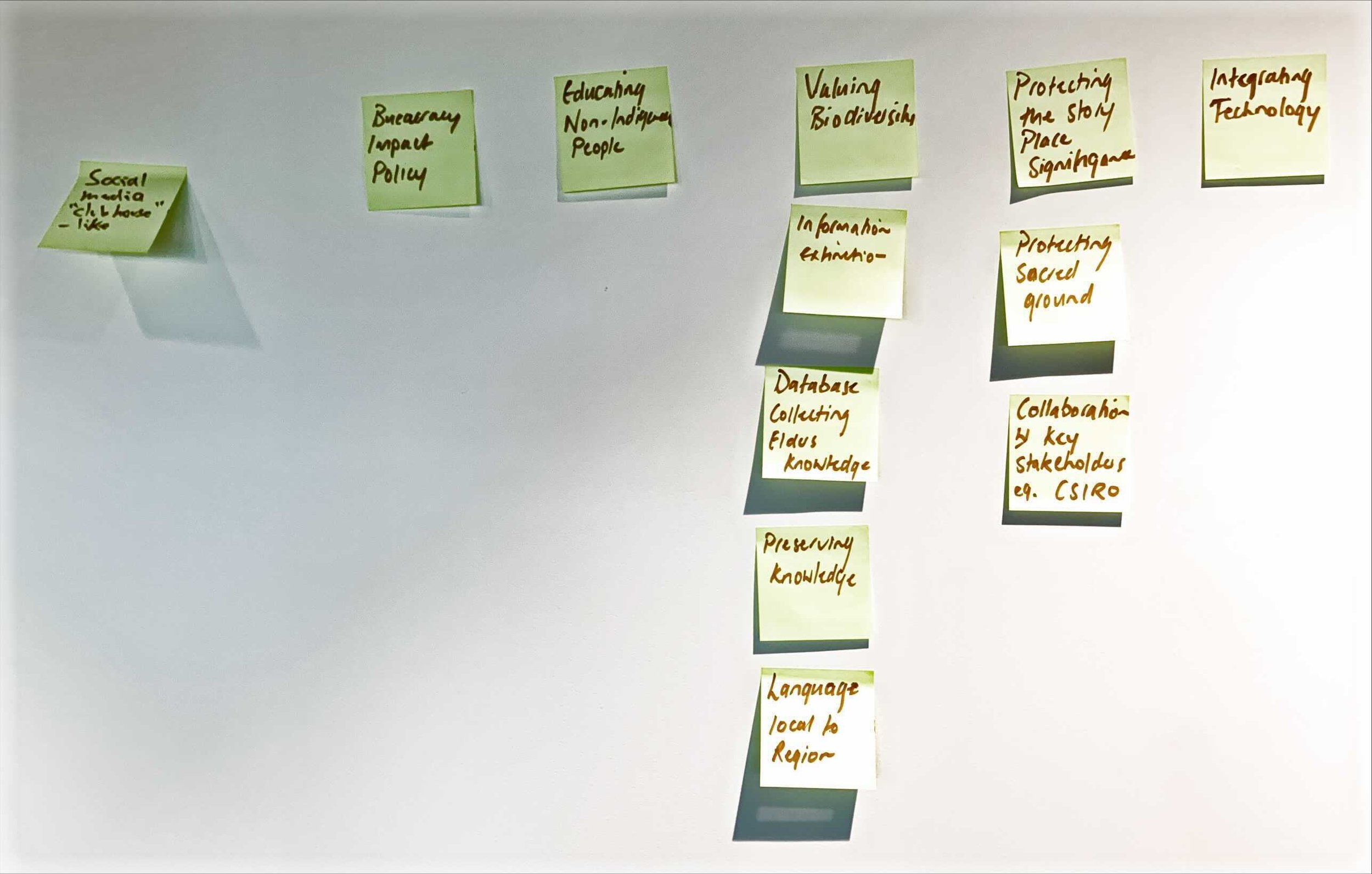
The event took place from the 3rd to the 5th of November in Cairns. The teams worked on unique challenges. Check the solutions developed at the Indigenous Australian Datathon 2023 edition.

Solutions Developed
-

Identify boats in distress at sea by employing thermal technology
Issue: In the ocean getting timely help in medical emergencies can be a significant challenge. Often, it takes at least an hour for assistance to arrive, which can be a critical delay when dealing with life-threatening situations.
Solution: Using drones (far cheaper and faster) and cameras to find and figure out the right resources for people in danger, so life-critical equipment can be dropped to keep people alive until they are brought back home safe.
-

Personalising healthcare for indigenous Communities
Issue: Chronic diseases impose a significant financial burden on Australia, with costs amounting to a staggering $38 billion annually. Among the most affected by this are Indigenous communities, which contribute $7 million to this total. This cost is particularly burdensome for these communities, highlighting the urgent need for targeted health interventions.
Solution: One effective solution to address this issue is the creation of detailed health maps for local communities in Queensland. These maps can serve as a powerful tool to visualize health data, identify trends, and target interventions more effectively.
-

Healthcare Data including Indigenous Data
Issue: In the realm of healthcare, traditional methods of data analysis and prescription often fail to consider the unique factors influencing individual health. Conventional approaches tend to overlook the intricacies of local environments, cultural contexts, and specific health determinants. This generalized view can result in less effective treatments and poorer health outcomes, particularly for Indigenous communities and those living in remote areas.
Solution: To enhance healthcare outcomes, a shift towards personalized prescriptions that leverage locally-specific data is crucial. This innovative approach involves integrating various data sources, including health, environment, and cultural factors, to tailor treatments to individual needs.
-

Protecting Turtle Nests
Issue: The devastation of turtle nests by both animals and humans is a growing concern, particularly for the Bajigal (turtle) populations. Coastal regions that once saw thriving turtle nesting activities are now witnessing a drastic decline. For instance, a beach that had 150 nests a few years ago now has just one. This alarming trend highlights the urgent need for effective conservation measures.
Solution: To address these challenges, drone technology offers a cutting-edge solution. By using drones equipped with high-resolution cameras and imaging technology, conservationists can detect Bajigal tracks and locate nests more efficiently and accurately.
-

Protection/Access of Indigenous Data
Issue: In many conservation efforts, there is a wealth of data collected, but often, this data is not utilised to its full potential. This can be due to various reasons, such as fragmented data sources, lack of secure storage, or insufficient analytical capabilities. Addressing these issues can significantly enhance conservation outcomes and ensure that valuable insights are not lost.
Solution: To fully leverage the data collected in conservation efforts, a comprehensive solution is needed. This involves securely storing data, ensuring it is easily accessible for analysis, and applying machine learning to derive meaningful insights.
-

Erosion on Country
Issue: Erosion can lead to the degradation of soil, loss of vegetation, and the destabilization of landscapes. This issue is particularly pressing in remote and rugged areas where traditional methods of monitoring and managing erosion are difficult to implement. Conventional techniques often fall short in providing timely and accurate information necessary for effective intervention.
Solution: Traditional owners used their knowledge about country to identify erosion patterns (like the colour of sandstone/grooves deepness, the feel & texture) to lead the team to develop a tool for rangers telling them what stage the erosion is on Country and predicting erosion using drone footage, which is handy for areas that are hard to access.
-

BUSHFIRES
Issue: Bushfires pose a significant threat to many Indigenous communities in Australia, leading to tragic loss of life and extensive injuries. Ensuring the safety of these communities requires innovative approaches to anticipate and mitigate the risks associated with bushfires.
Solution: By analysing vegetation and soil moisture levels, the team aimed to anticipate high-risk areas for bushfires. Their innovative solution used drone mapping, machine learning, and predictive models to identify and mitigate the risk. The solution would further be developed as an AI-driven model to significantly improve the accuracy of identifying high-fuel areas and would be used to facilitate the approval of cultural burns to prepare for the bush fire season.

Testimonials from the 2023 edition participants